Here's a look at the current local weather and gas prices.
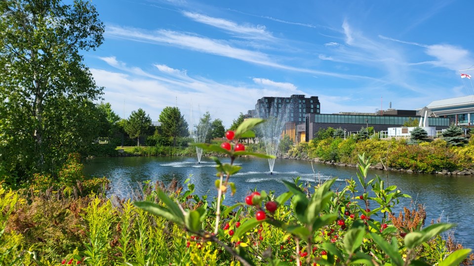
Today's image is from Danny B.
Got a Story idea? Send it here. Got a Good Morning Photo to Share? Send it here.
Nipigon
| Showers ending early in the morning then a mix of sun and cloud. Risk of a thunderstorm early in the morning. Local smoke late in the afternoon. Wind west 30 km/h gusting to 50. High 24. Humidex 27. UV index 6 or high. |
|
|
|
|
|
|
|
|
|
|
|
|
|
|
|
|
|
|
|
|
|
|
|
|
|
|
|
|
|
|
|
|
|
|
|
|
|
|
|
|
|
|
|
|
|
|
|
|
|
|
|
|
|
Marathon/Terrace Bay
| Showers ending in the morning then a mix of sun and cloud. Risk of a thunderstorm in the morning. Wind southwest 20 km/h gusting to 40. High 20. UV index 6 or high. |
|
|
|
|
|
|
|
|
|
|
|
|
|
|
|
|
|
|
|
|
|
|
|
|
|
|
|
|
|
|
|
|
|
|
|
|
|
|
|
|
|
|
|
|
|
|
|
|
|
|
|
Hornepayne
| Showers ending near noon then a mix of sun and cloud. Risk of a thunderstorm in the morning. Wind south 20 km/h becoming west 30 gusting to 50 in the afternoon. High 23. Humidex 27. UV index 6 or high. |
|
|
|
|
|
|
|
|
|
|
|
|
|
|
|
|
|
|
|
|
|
|
|
|
|
|
|
|
|
|
|
|
|
|
|
|
|
|
|
|
|
|
|
|
|
|
|
|
|
|
|
White River
| Showers ending near noon then a mix of sun and cloud. Risk of a thunderstorm in the morning. Wind south 20 km/h gusting to 40 becoming west 30 gusting to 50 late in the morning. High 21. UV index 6 or high. |
|
|
|
|
|
|
|
|
|
|
|
|
|
|
|
|
|
|
|
|
|
|
|
|
|
|
|
|
|
|
|
|
|
|
|
|
|
|
|
|
|
|
|
|
|
|
|
|
|
|
|
Wawa
| Showers ending near noon then clearing. Risk of a thunderstorm in the morning. Wind south 30 km/h gusting to 50. High 19. UV index 6 or high. |
|
|
|
|
|
|
|
|
|
|
|
|
|
|
|
|
|
|
|
|
|
|
|
|
|
|
|
|
|
|
|
|
|
|
|
|
|
|
|
|
|
|
|
|
|
|
|
|
|
|
|
Geraldton
| Showers ending in the morning then cloudy. Risk of a thunderstorm in the morning. Wind west 30 km/h gusting to 60. High 23. Humidex 25. UV index 5 or moderate. |
|
|
|
|
|
|
|
|
|
|
|
|
|
|
|
|
|
|
|
|
|
|
|
|
|
|
|
|
|
|
|
|
|
|
|
|
|
|
|
|
|
|
|
|
|
|
|
|
|
|
|