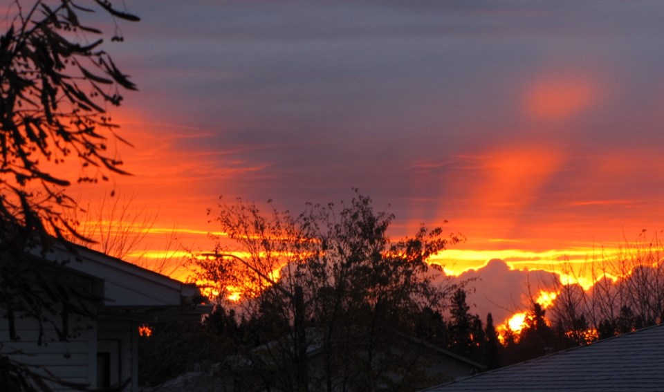
Today's image is from Penny Swire
Got a Story idea? Send it here. Got a Good Morning Photo to Share? Send it here.
Nipigon
Snow at times heavy. Local blowing snow in the afternoon. Amount 10 to 15 cm. Wind becoming east 30 km/h gusting to 50 late in the morning. High minus 2. Wind chill near minus 12. UV index 1 or low.
Marathon (Thunder Bay)
Snow at times heavy. Amount 10 cm. Wind becoming northeast 20 km/h gusting to 40 late in the morning. High minus 3. Wind chill near minus 13. UV index 1 or low.
Terrace Bay
Snow at times heavy. Amount 10 cm. Wind becoming northeast 20 km/h gusting to 40 late in the morning. High minus 3. Wind chill near minus 13. UV index 1 or low.
Hornepayne
Cloudy. 60 percent chance of snow in the morning. Snow beginning near noon. Local amount 5 cm. Wind becoming northeast 20 km/h late in the morning. High minus 4. Wind chill minus 18 in the morning and minus 10 in the afternoon. UV index 2 or low.
White River
Cloudy. 40 percent chance of flurries early in the morning. Snow beginning in the morning. Amount 5 to 10 cm. Wind becoming northeast 20 km/h gusting to 40 late in the morning. High minus 3. Wind chill near minus 13. UV index 1 or low.
Wawa
Cloudy. 40 percent chance of flurries early in the morning. Snow beginning in the morning. Amount 5 to 10 cm. Wind becoming northeast 20 km/h gusting to 40 in the afternoon. High minus 3. Wind chill near minus 12. UV index 1 or low.
Geraldton
Periods of snow. Amount 5 cm. Wind becoming northeast 20 km/h gusting to 40 in the morning. High minus 3. Wind chill minus 18 in the morning and minus 9 in the afternoon. UV index 1 or low.
