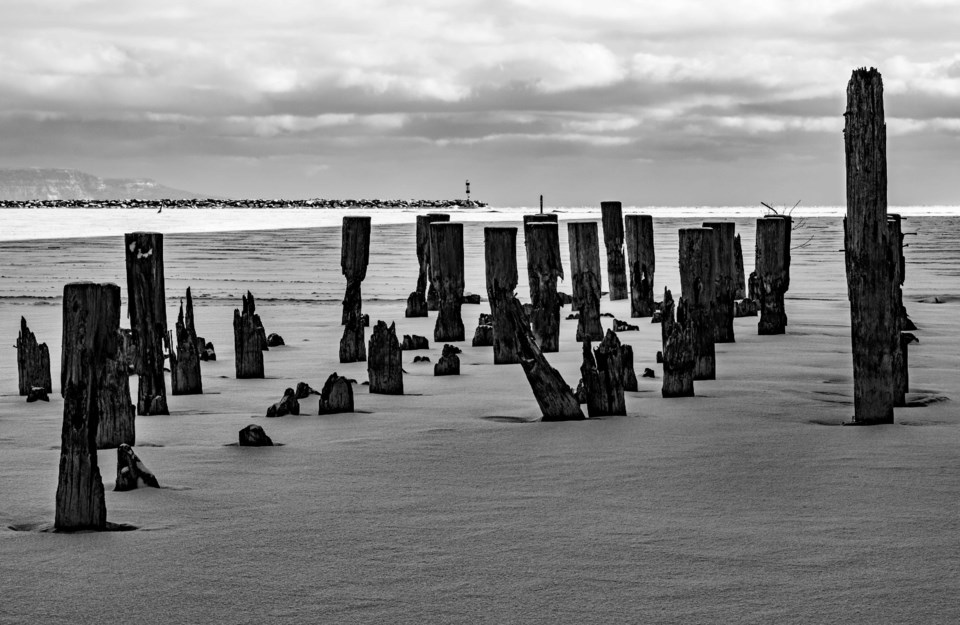
Today's image is from Brian Duquette
Got a Story idea? Send it here. Got a Good Morning Photo to Share? Send it here.
Nipigon
Periods of snow ending late in the afternoon then cloudy with 30 percent chance of flurries. Amount 2 cm. Wind up to 15 km/h. High minus 4. Wind chill minus 19 in the morning and minus 6 in the afternoon.
Marathon (Thunder Bay)
Flurries with risk of snow squalls. Amount 2 to 4 cm. Wind up to 15 km/h. High minus 4. Wind chill minus 18 in the morning and minus 6 in the afternoon.
Terrace Bay
Flurries with risk of snow squalls. Amount 2 to 4 cm. Wind up to 15 km/h. High minus 4. Wind chill minus 18 in the morning and minus 6 in the afternoon.
Hornepayne
Light snow. Wind becoming west 20 km/h gusting to 40 in the morning then light late in the afternoon. High minus 5. Wind chill minus 19 in the morning and minus 9 in the afternoon.
White River
Flurries with risk of snow squalls. Amount 2 to 4 cm. Wind becoming southwest 20 km/h gusting to 40 in the morning. High minus 4. Wind chill minus 15 in the morning and minus 10 in the afternoon.
Wawa
Flurries with risk of snow squalls. Amount 2 to 4 cm. Wind west 20 km/h gusting to 40. High minus 2. Wind chill minus 17 in the morning and minus 8 in the afternoon.
Geraldton
Light snow. Wind becoming west 20 km/h gusting to 40 in the morning then light late in the afternoon. High minus 5. Wind chill minus 19 in the morning and minus 9 in the afternoon.
