Here's a look at the current local weather and gas prices.
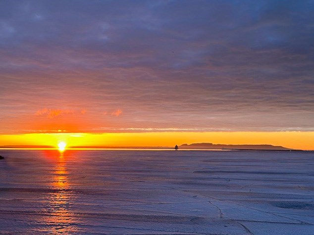
Today's image is from Chris Moorhead.
Got a Story idea? Send it here. Got a Good Morning Photo to Share? Send it here.
Nipigon
| Periods of light snow ending in the morning then cloudy. Wind becoming northwest 20 km/h gusting to 40 in the morning. High minus 3. Wind chill minus 19 in the morning and minus 10 in the afternoon. UV index 2 or low. |
|
Marathon/Terrace Bay
| Flurries ending in the morning then cloudy with 40 percent chance of flurries. Risk of snow squalls over eastern sections in the morning. Wind west 20 km/h gusting to 40. High minus 3. Wind chill minus 19 in the morning and minus 10 in the afternoon. UV index 2 or low. |
|
|
|
Hornepayne
| Flurries ending in the afternoon then mainly cloudy with 40 percent chance of flurries. Local amount 2 cm. Wind west 20 km/h gusting to 40. High minus 3. Wind chill minus 18 in the morning and minus 9 in the afternoon. UV index 1 or low. |
|
White River
| Flurries and local snow squalls. Local amount 10 to 15 cm. Wind west 20 km/h gusting to 40. High minus 3. Wind chill minus 17 in the morning and minus 9 in the afternoon. UV index 1 or low. |
|
|
|
Wawa
| Flurries and local snow squalls. Local blowing snow. Local amount 10 to 15 cm. Wind west 30 km/h gusting to 50. High minus 3. Wind chill minus 18 in the morning and minus 10 in the afternoon. UV index 1 or low. |
|
|
Geraldton
| Periods of light snow. Wind west 20 km/h gusting to 40. High minus 6. Wind chill minus 20 in the morning and minus 13 in the afternoon. UV index 1 or low. |
|
|
|